
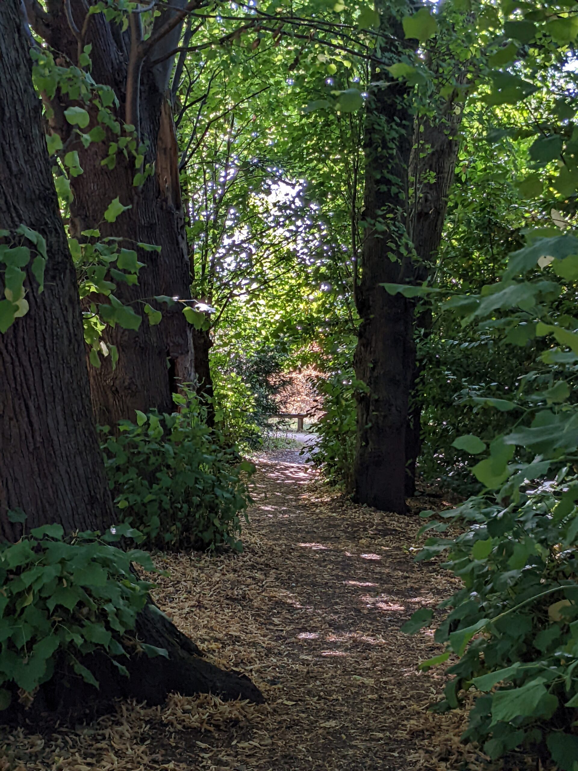
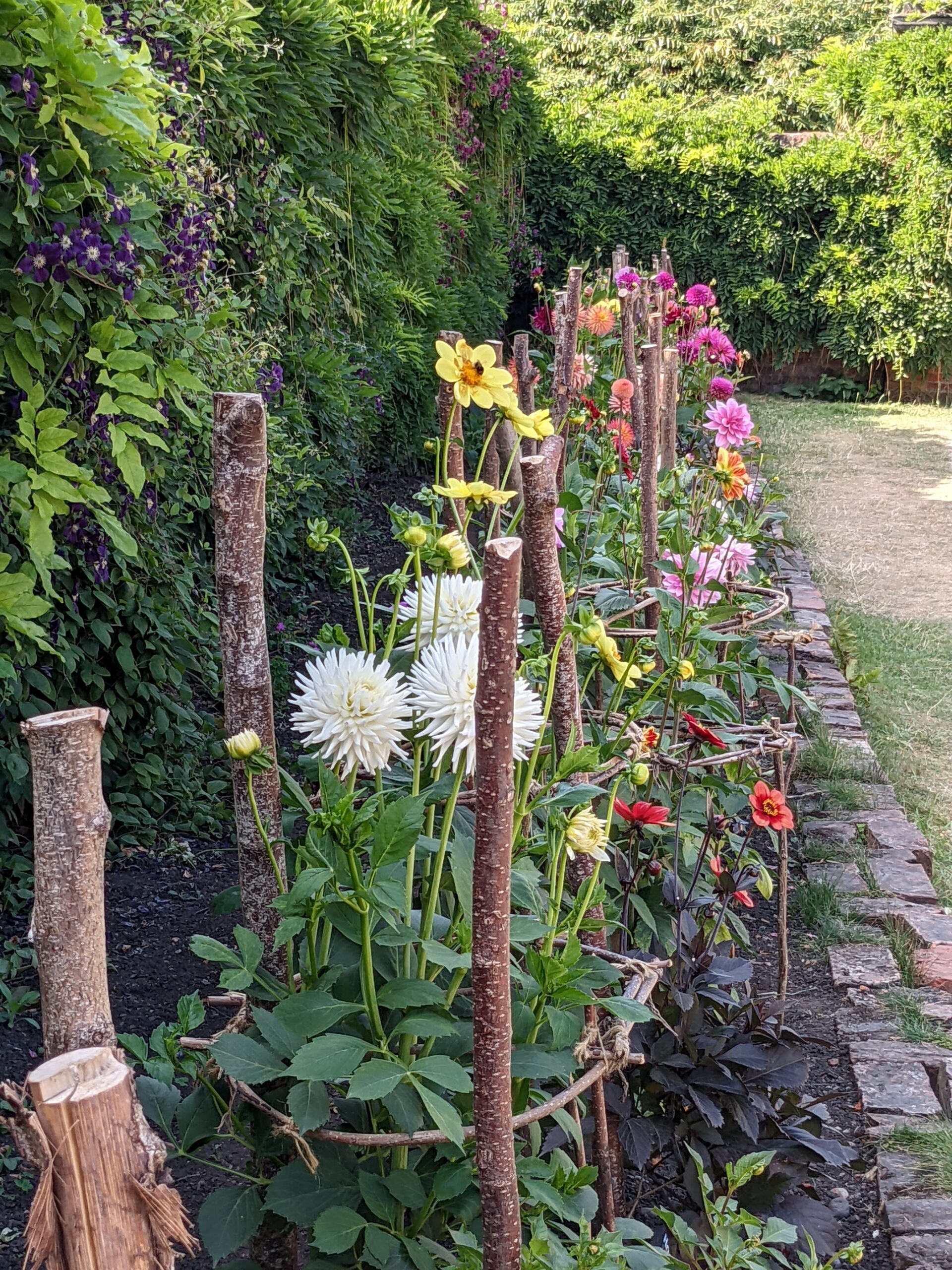
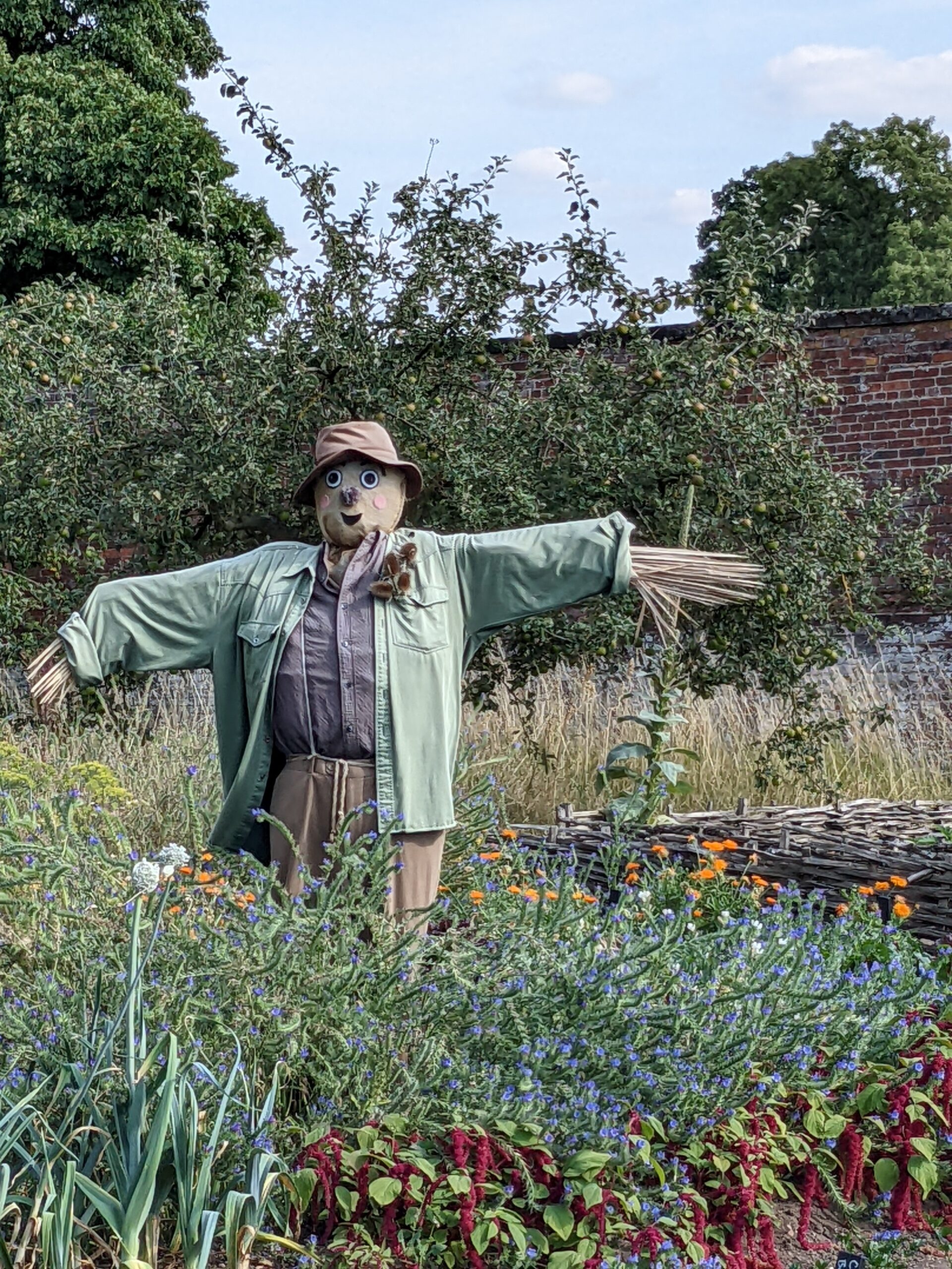
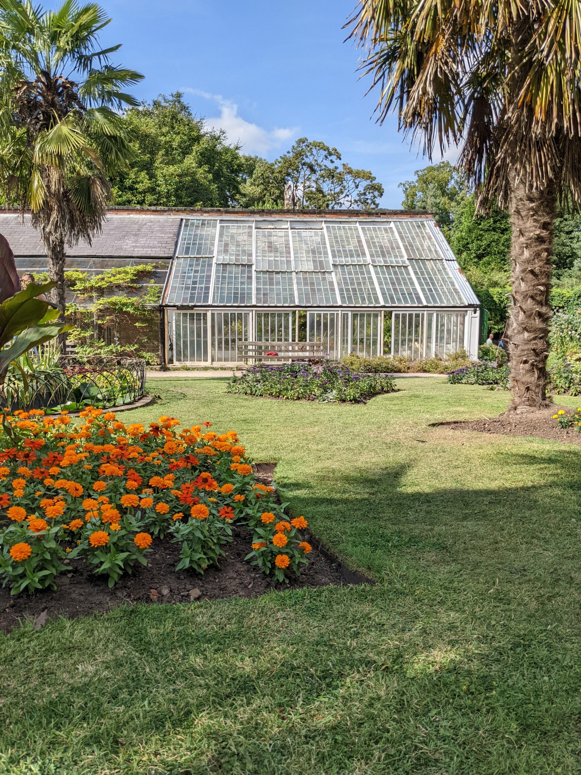
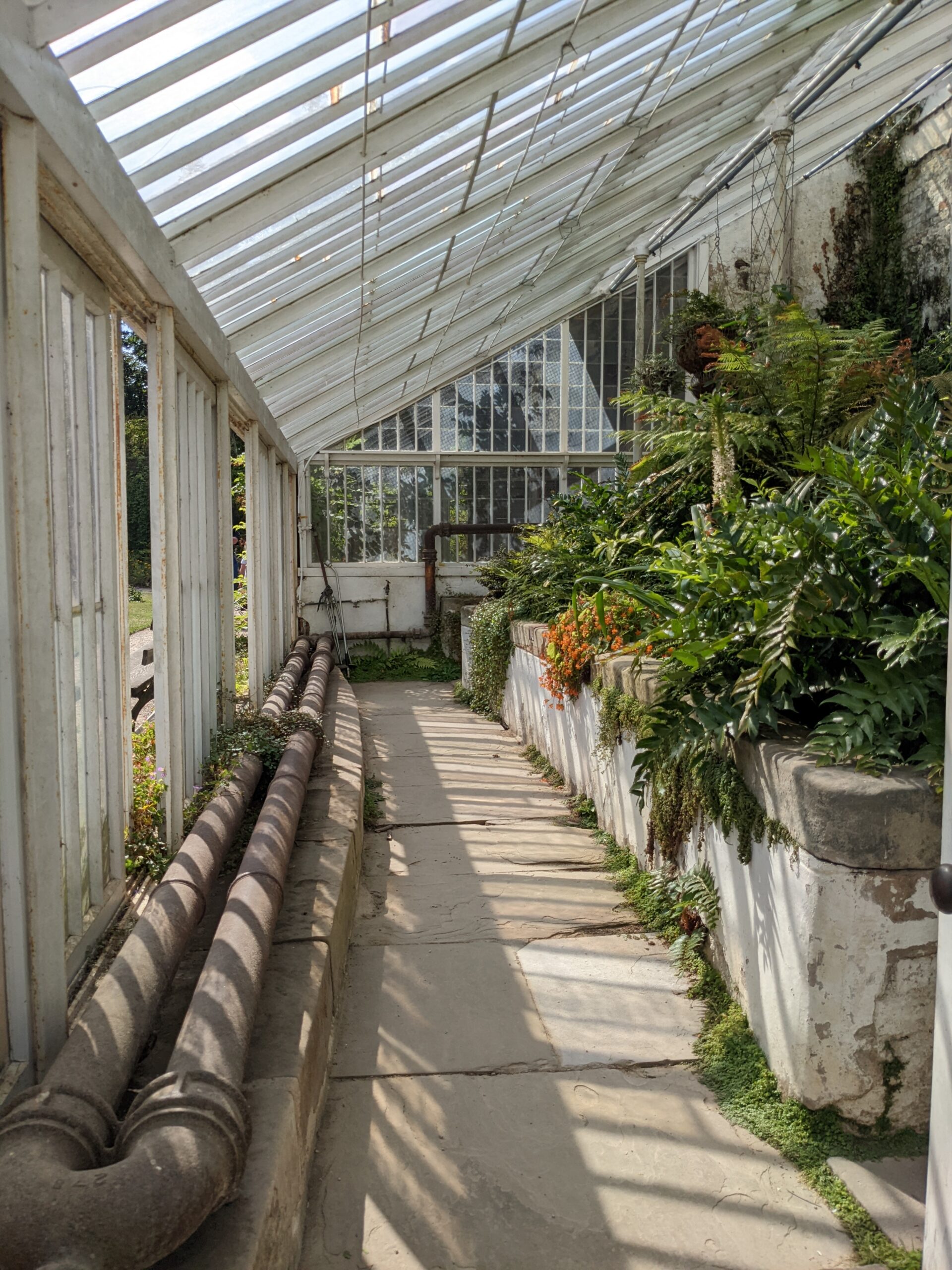
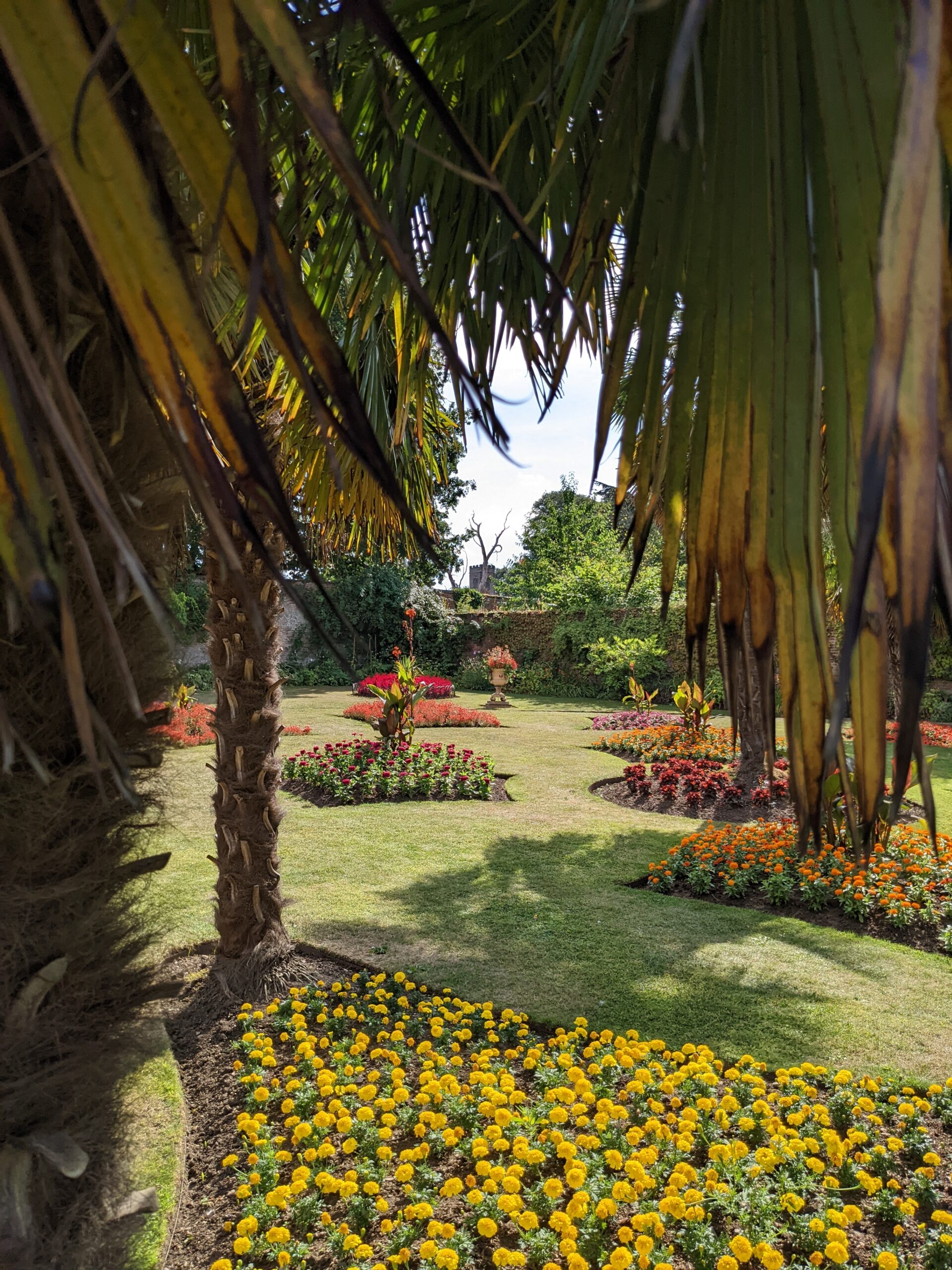
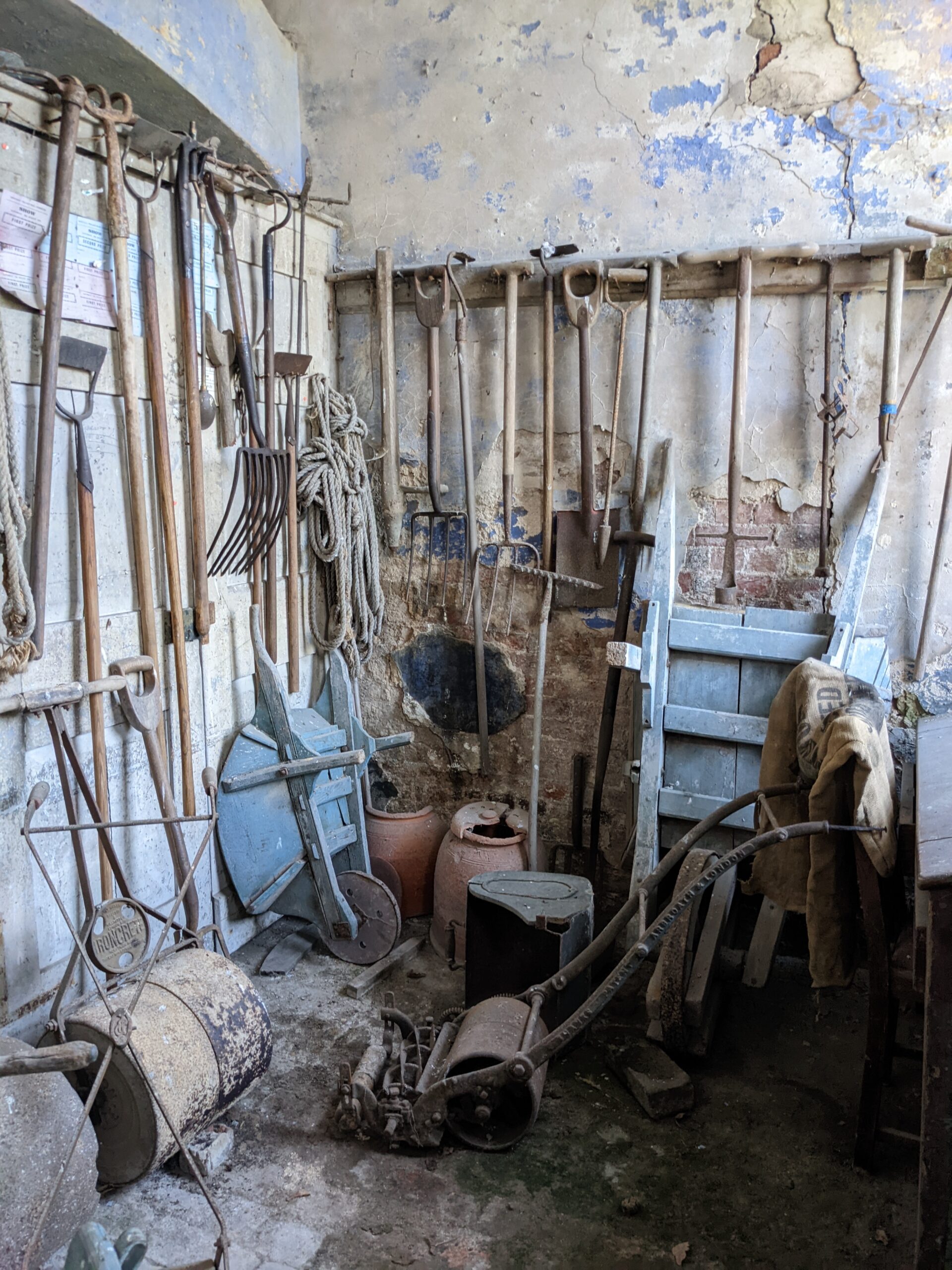
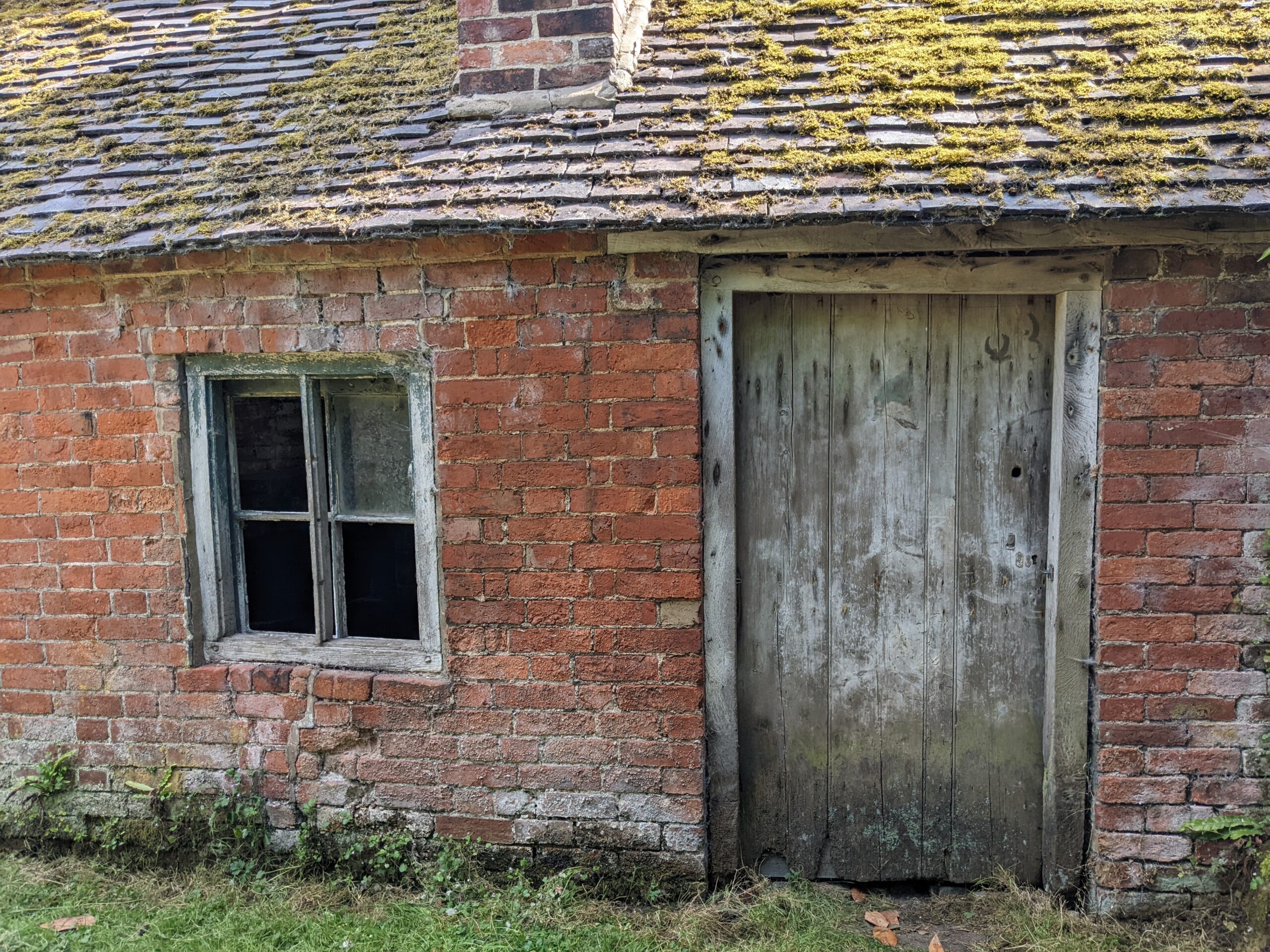
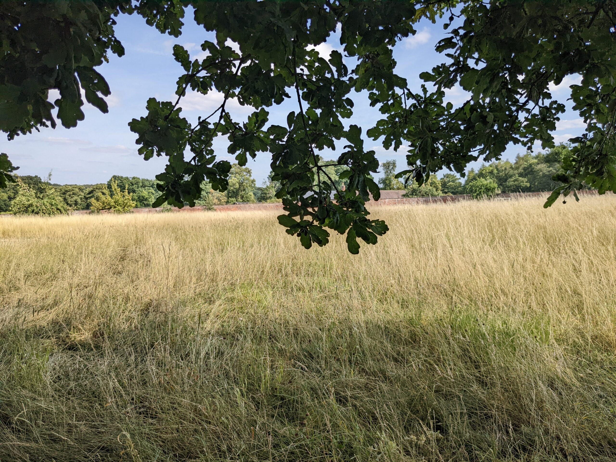
We visited to Calke Abbey as a break in a longer journey. Therefore, we had limited time to explore. Using the on-site map, we decided to focus our visit on the walled garden which was separate from the house and required walking through a meadow and along some woodland paths. A delightful route.








When we visited, paper maps were not being issued at this location by the National Trust. There was a map which visitors could photograph – but you’ll need a phone (or screened camera device and for me it’s not ideal having to work from such a small screen. And if like me you need to always have the map facing the direction you’re travelling, its awkward on a phone as the image keeps righting itself.
There is a pdf available online for viewing/downloading prior to a visit on the Calke Abbey website. (There wasn’t any wifi to download when we visited). The map may not be particularly printer friendly, for some, as its in multi-colour. Nor I suspect is it environmentally friendly for individuals to download it and print it themselves. I’d rather pay for a map on-site than do this. But having a look before the visit would have been useful to get an understanding of the place.
Calke Abbey is a National Trust property in Derbyshire. (Although to discover the National Trust holiday cottages there, select Leicestershire on their holiday cottage website).